Original: $14.95
-65%$14.95
$5.23The Story
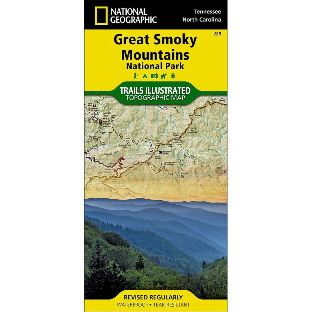
America's most visited national park straddles Tennessee and North Carolina with its seemingly endless forest. The National Geographic Trails Illustrated Map: Great Smoky Mountains National Park includes the park in its entirety; the Appalachian Trail; Twentymile Trail; Lakeshore Trail; Chasteen Creek Trail; the Great Smoky Mountains; Chilowee Mountain; Little Mountain; the Blue Ridge Parkway; Cataloochee Divide; Pisgah National Forest; Cherokee National Forest; Nantahala National Forest; Little Tennessee River; Chilhowee Lake; Fontana Lake; Tuckasegee River; the cities of Maryville and Gatlinburg Tennessee, and Waynesville, North Carolina; UTM grids for use with your GPS.
About Trails Illustrated:
More than just a map, National Geographic Trails Illustrated topographic maps are designed to take you into the wilderness and back. Printed on tear-resistant, waterproof material, this map can go anywhere you do. Each map is based on exact reproductions of USGS topographic map information, updated, customized, and enhanced to meet the unique features of each area. The maps include valuable wilderness tips and Leave No Trace guidelines, along with updated trails, trailheads, points of interest, campgrounds, and much more. With a new color palette and stunning shaded relief, backcountry navigation has never been easier.
Description
America's most visited national park straddles Tennessee and North Carolina with its seemingly endless forest. The National Geographic Trails Illustrated Map: Great Smoky Mountains National Park includes the park in its entirety; the Appalachian Trail; Twentymile Trail; Lakeshore Trail; Chasteen Creek Trail; the Great Smoky Mountains; Chilowee Mountain; Little Mountain; the Blue Ridge Parkway; Cataloochee Divide; Pisgah National Forest; Cherokee National Forest; Nantahala National Forest; Little Tennessee River; Chilhowee Lake; Fontana Lake; Tuckasegee River; the cities of Maryville and Gatlinburg Tennessee, and Waynesville, North Carolina; UTM grids for use with your GPS.
About Trails Illustrated:
More than just a map, National Geographic Trails Illustrated topographic maps are designed to take you into the wilderness and back. Printed on tear-resistant, waterproof material, this map can go anywhere you do. Each map is based on exact reproductions of USGS topographic map information, updated, customized, and enhanced to meet the unique features of each area. The maps include valuable wilderness tips and Leave No Trace guidelines, along with updated trails, trailheads, points of interest, campgrounds, and much more. With a new color palette and stunning shaded relief, backcountry navigation has never been easier.